Merseytram Line 2
| Line 2 will leave the city centre loop at a junction on Lime Street at the top of St John's Lane. It will continue along Lime Street passing the Crown Hotel on the left and an ugly derelict cinema on the right. | 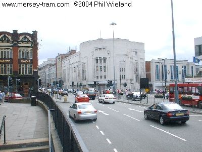 |
| Continuing along Lime Street the route passes the famous Vines public house (on my left when I took this shot) and Lewis's department store on the right. The Adelphi stop will be about where I was standing when this picture was taken. | 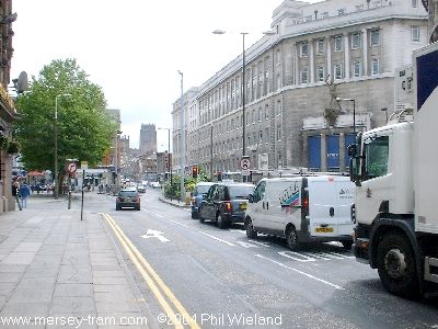 |
| Here's a view of the Vines, taken standing outside Lewis's. | 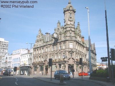 |
| The route passes the Adelphi Hotel, and then turns left onto Brownlow Hill and immediately bears right onto Mount Pleasant. | 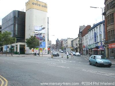 |
| Mount Pleasant here crosses Rodney Street. | 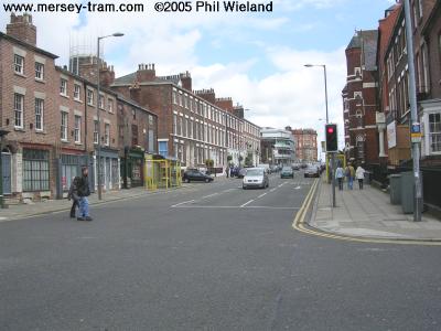 |
| The Catholic Cathedral is just to the left here as the route crosses the end of Hope Street. | 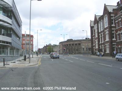 |
| Running through the University area there will be a stop at Abercrombie Square. | 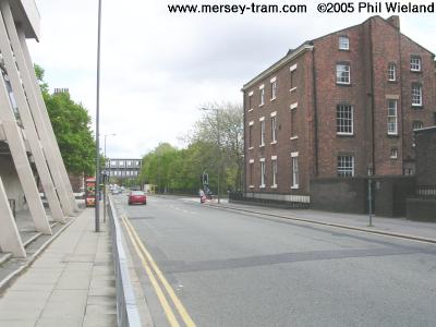
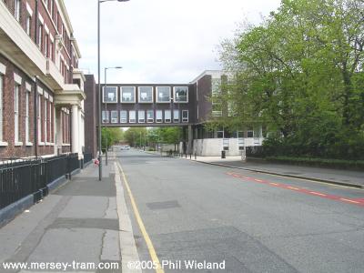 |
| We leave the University and head along Oxford Street East... | 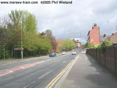 |
| ...and on to Chatham Place. There will be another stop somewhere here.
(The compound with razor wire on the left contains an Infant's School.) | 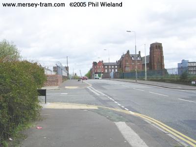 |
| The route continues onto Harbord Street and reaches the five way junction where Harbord Street meets Wavertree Road, Durning Road, Picton Road and Tunnel Road. The tracks will pass to the left of where I was standing, run across the junction and pass through where the Durning Arms pub, which you can see in the middle of the picture, currently stands. Behind the pub site will be Edge Hill stop. | 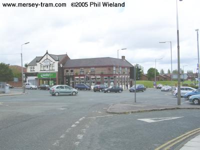 |
| Line 2 then runs along the northern side of Picton Road, requiring demolition of the derelict Botanic pub on the corner of Botanic Road. (This picture was taken in 2002.) | 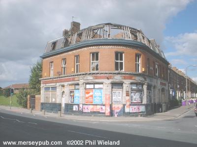 |
| The description of Line 2 continues with Line 2 from Edge Hill to Longview | |
|
mersey-tram.com
The Unofficial Merseytram Site |
| Home Page |
|
NEWS
Latest
Archive Editorials |
|
DEVELOPMENT
Schedule Bid process Works |
|
THE ROUTES
Summary Details & pictures |
|
THE TRAMS
Description |
|
SUGGESTED
Links Books |
| ©2019 Phil Wieland
Host: arnos |